

Site History
A bit more on the Murphy's/Imperial Works site in Menston. Maps from 1850 all the way up to current.
-1850
Evidence of a small building on the site, at this time it could have been called Higher Gill Mill. How long it has been on the site currently unknown. Not so easy to see but there is a mill pond on the site fed by Mire Beck which is currently diverted around the site.
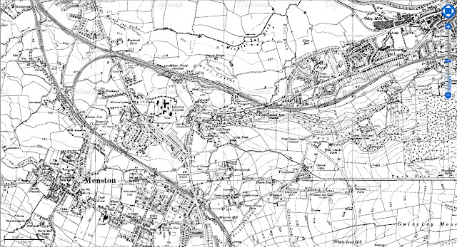
-1890
This shows the 2 storey mill building in existence at this time and some other smaller buildings. Interestingly the annotation under the name of the mill says "worsted" (description below) perhaps in reference to the type of product the mill made.
We can see the large mill pond, sluice and weir taking up the large patch of ground at the rear of the current site. I presume this must have fed into the mill stream which in turn may have powered the mill. There is evidence of the old mill workings in the building, which leads me to believe that this was the case. I think that there could be the boiler building and chimney at this point (the small narrow building building perpendicular to the main building) although it is difficult to say due to overlaying text. Perhaps they were in the process of developing this and the later one storey north-light structure at the time of printing?
Update - *According to the Murphy Family the northlight building has been on the site since the late 1700's*
It seems there has also been a small house, outbuildings and a good sized garden on the site since this time, possibly before but it isn't clear.
"Worsted cloth, archaically also known as stuff, is lightweight and has a coarse texture. The weave is usually twill or plain. Twilled fabrics such as whipcord, gabardine and serge are often made from worsted yarn. Worsted fabric made from wool has a natural recovery, meaning that it is resilient and quickly returns to its natural shape, but non-glossy worsted will shine with use or abrasion.
Worsteds differ from woollens, in that the natural crimp of the wool fibre is removed in the process of spinning the yarn. In Tropical Worsteds this use of tightly-spun straightened wool combined with a looser weave permits the free flow of air through the fabric.
Worsted is also used for carpets, clothing, hosiery, gloves and baize."
from Wikipedia
-1900
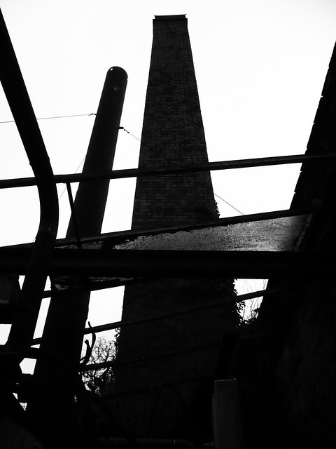
By the this time the mill has become "disused" according to the annotation. The mill has been extended with a one storey addition with north-lights which still exists. The Mill pond has been truncated and the mill stream filled in, the map still notes a "sluice" so perhaps the stream has become culverted? It is likely that the mill had become powered by steam or electricity by this point and no longer needed the power of the stream. The is an annotation "chy" (which could be chimney) which would indicate this (see large brick chimney in image below).
Update - *The Murphy family were still using the water power until the late 1950's*
There also appears the Isolation Hospital on the top left of the map once a disparate part of the huge High Royds Asylum complex (further toward Guiseley, it was used to house infectious cases so they didn't contaminate the main hospital.
-1920
The mill is back in use again, as a carding and spinning mill. There has been a very small addition on the Otley road side, perhaps a small lean-to structure in the yard.
Update - *This was a materials storage shed, demolished in 2006*
-1930
The mill is now used (according to the map) as "engineering". This coincides with the Murphy family in 1926, who have moved from Meanwood in Leeds which was dominated by tanneries. They have moved from their original complex at the old Imperial Cinema which the converted into an engineering works in search of bigger premises. They produce and maintain machinary for the tanning and skinning trade. At this time they retain the original one and two storey buildings which have existed for the last 50 years.
-1940
The mill is still at the same size as in the early 1900's and the mill pond still exists.
-1950
The mill still exists in its early 1900's state however there appears a large rectangular building at the rear of the original buildings which could be this large corrugated material building.
-1970
The mill in near to its current state, the large rectangular addition from 1950 has been consolidated into the whole and a new smaller leg parallel to that has been added onto the original 2 storey building. The mill pond at the rear of the site has been filled and Mire Beck now runs in a loop around the yard and returns to its original course through the old sluice and weir. It would interesting to know if the weir and sluice were still there as this could provide opportunities for reinstating hydroelectric power.
-Current
The whole site, no mill pond any more and Mire Beck has been diverted to the south of the site, where it rejoins its old course and is directed under Otley road through a culvert. The buildings form the 1970's still exist except for the small structure in the road facing yard.
Now owned by Wetherby Skips (http://www.wetherbyskips.co.uk/), which quite interesting considering the nature of my intended use for the site.
It is now used for a number of businesses, the original owners still run a salvage, maintenance and reclamation business from part of the original building. Otherwise, there is a storage facility, marquee hire and firewood sales amongst others. There are a number of roofed wood stores and shipping containers in the expansive yard and a few skips full of household items. 2 new units have been built at the end of the large 1950's unit from off-the-peg portal frame units.
Current buildings
Current buildings with age tags.
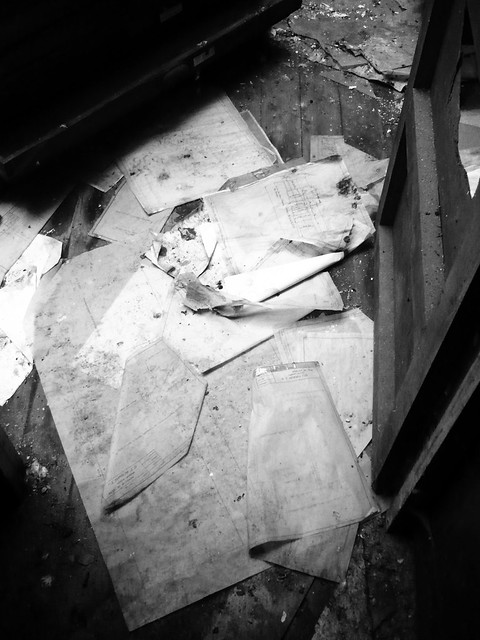
Fortunately, thanks to the Directors at Wetherby Skips, I have managed to get in touch with the Murphy family who are currently helping me with my understanding of the site. I am hoping to meet them later in the month and have a proper look around the site. Hopefully I will have some decent questions to ask and I can see some of the old drawings which are quite amazingly still in the drawing office on site (slightly waterlogged thanks to some lead thieves!).
Areas: (approx)
Site:13,215 sqm
Buildings: 2,145 sqm
Results 1 to 8 of 8
-
29-01-2012, 06:58 PM #1
 UF Member
- Join Date
- Jan 2012
- Posts
- 3
- Thanks
- 1
- Thanked 1 Time in 1 Post
 GL Murphys, Imperial Works, Menston
Last edited by ayharch; 29-01-2012 at 07:22 PM.
-
29-01-2012, 07:23 PM #2
UF Member
- Join Date
- Jan 2012
- Posts
- 3
- Thanks
- 1
- Thanked 1 Time in 1 Post
Re: GL Murphys, Imperial Works, Menston
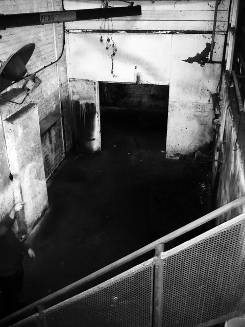
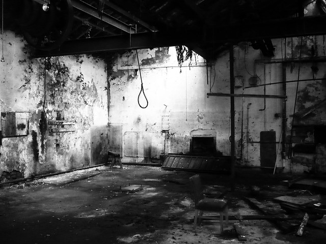
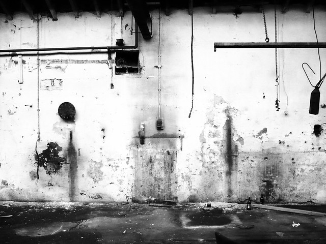
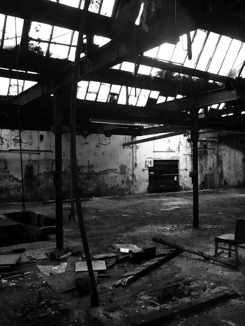
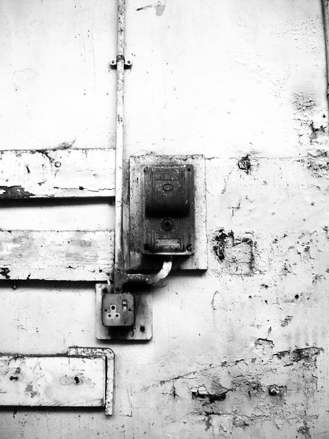
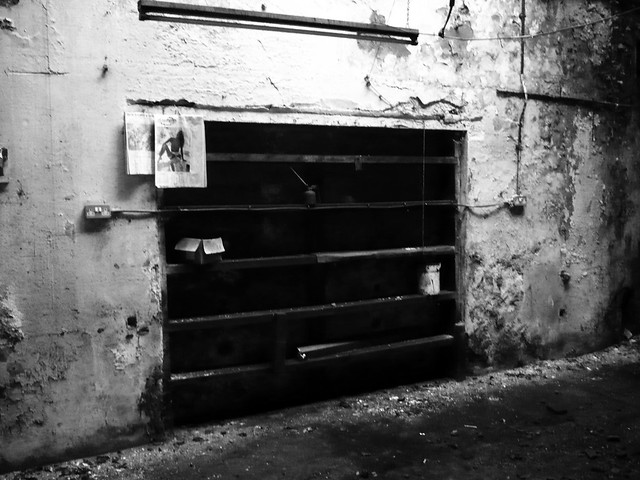
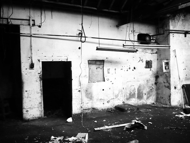
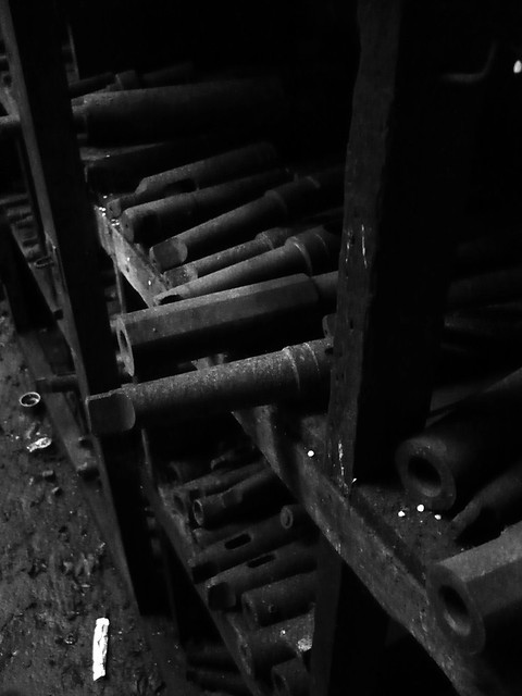
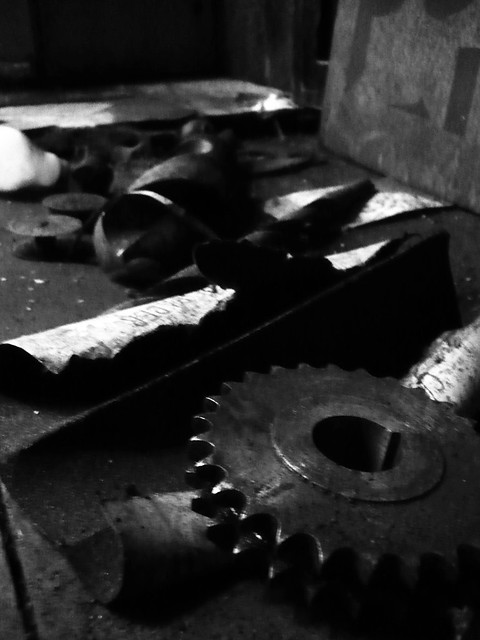
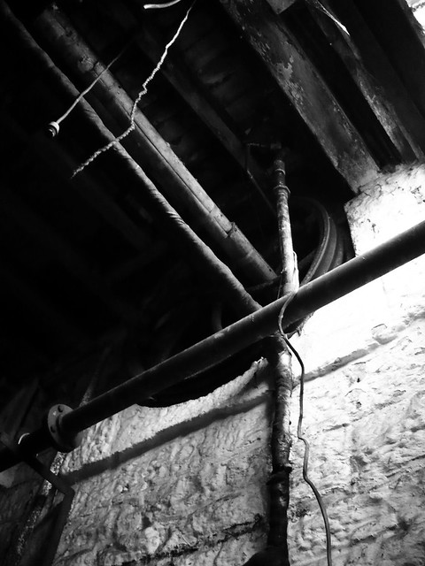
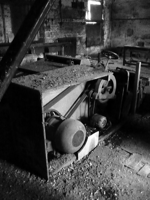
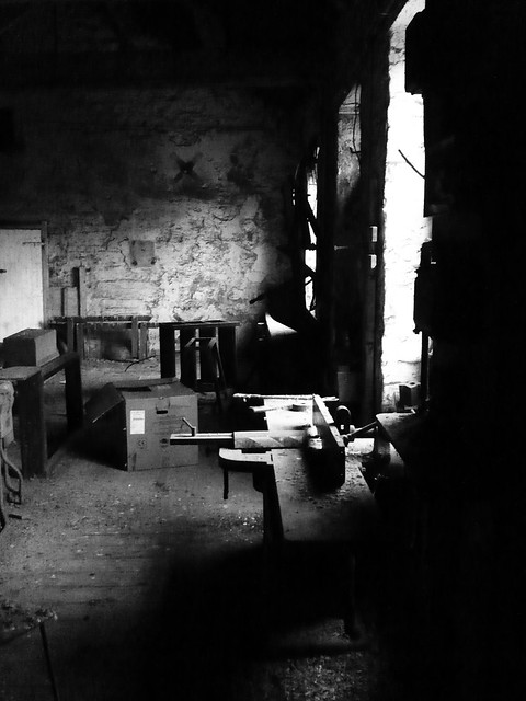
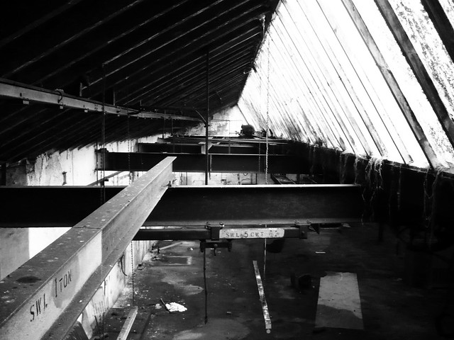
Selected images from my first and second (guided) explores of the place.
Long asbestos clad building
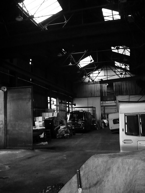
Northlight building
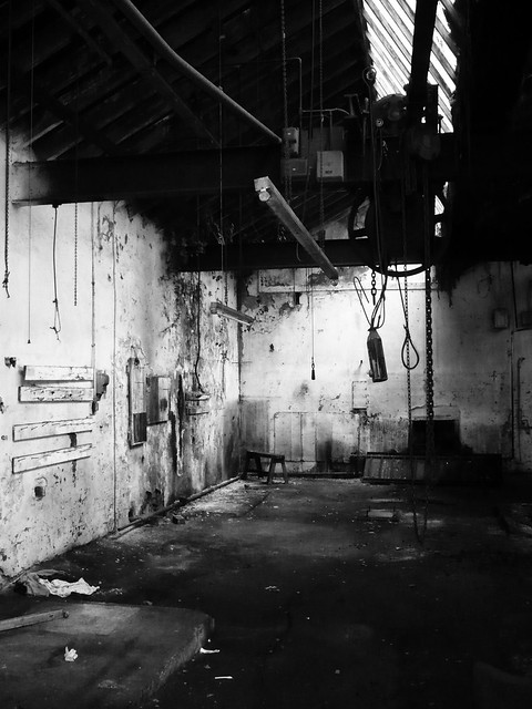
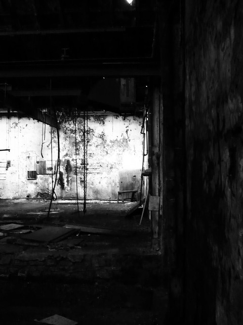
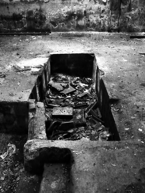
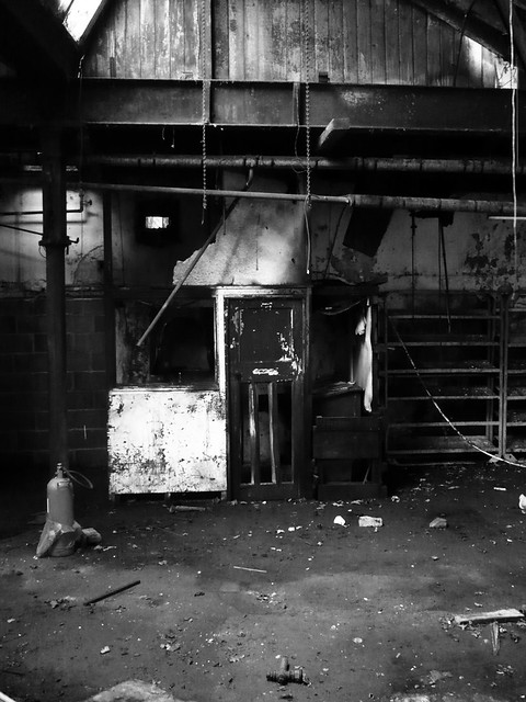
Old Wheelhouse (where iron stair to upper levels are in old mill)
Carpenters Workshop

Drawing Office
Old Canteen (leading onto Drawing Office)
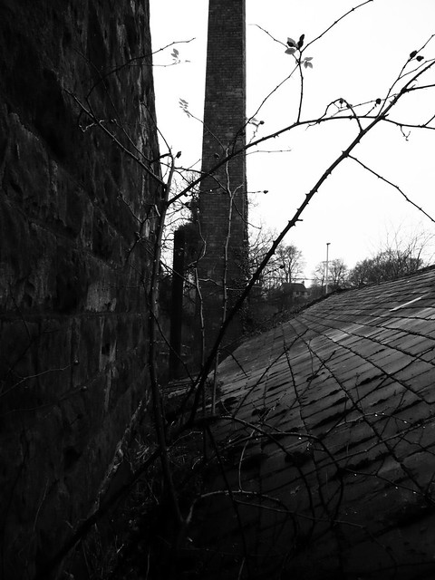
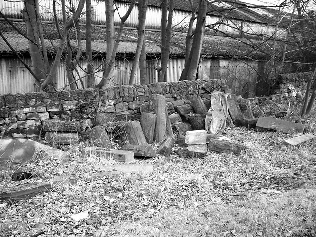
Outside
-
The Following User Says Thank You to ayharch For This Useful Post:
SaltGeorge (29-01-2012)
-
29-01-2012, 07:39 PM #3Wakey Lad Guest Re: GL Murphys, Imperial Works, Menston
Nice report there fella, good to see a bit of history thrown in. I do like a good Ordinance Survey map

-
The Following User Says Thank You to Wakey Lad For This Useful Post:
ayharch (29-01-2012)
-
29-01-2012, 08:33 PM #4
Сталкер
- Join Date
- Feb 2011
- Location
- West Norfolk
- Posts
- 246
- Thanks
- 24
- Thanked 70 Times in 56 Posts
Re: GL Murphys, Imperial Works, Menston
Very nice to see a decent bit of history and a long-term interest in understanding a site. Proper job
-
29-01-2012, 08:39 PM #5
UE Addict
- Join Date
- Jan 2009
- Location
- Norfolk
- Posts
- 394
- Thanks
- 51
- Thanked 84 Times in 82 Posts
Re: GL Murphys, Imperial Works, Menston
Good work fellas, great write up, very interesting.
Seek find and grind!
http://www.flickr.com/photos/stiemer/
-
30-01-2012, 01:04 PM #6
UF Member
- Join Date
- Jan 2012
- Posts
- 3
- Thanks
- 1
- Thanked 1 Time in 1 Post
Re: GL Murphys, Imperial Works, Menston
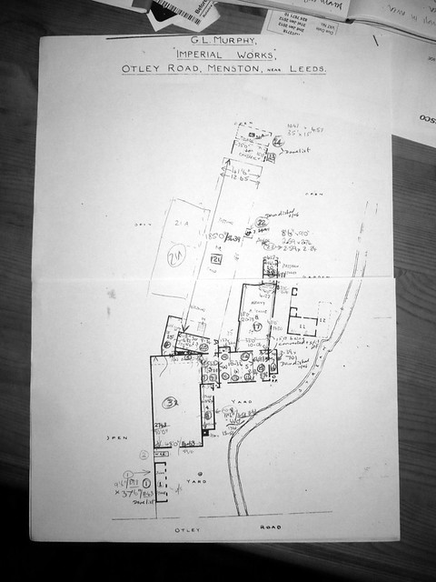
Another quick addition to this thread, more to come hopefully. A hand drawn map of the main spaces. I think it is from the early 2000's.
-
30-01-2012, 02:33 PM #7
Not Like Cordial!
- Join Date
- Apr 2008
- Location
- North of Leeds
- Posts
- 274
- Thanks
- 42
- Thanked 22 Times in 22 Posts
Re: GL Murphys, Imperial Works, Menston
Nice bit of history backing up some cracking pics!
-
31-01-2012, 12:52 PM #8
A Jock Abroad
- Join Date
- Oct 2010
- Location
- Bulgaria
- Posts
- 972
- Thanks
- 198
- Thanked 323 Times in 291 Posts
Re: GL Murphys, Imperial Works, Menston
Cracking write up on the history of this place!


 Reply With Quote


Similar Threads
-
G L Murphy Machinery. Imperial Works, Menston. Visited June 11.
By yorkietommo in forum Industrial sitesReplies: 11Last Post: 13-06-2011, 01:47 PM -
Murphys Machines - Menston - May 2011
By JIM123 in forum Industrial sitesReplies: 8Last Post: 20-05-2011, 10:25 PM -
Murphys Machinery, Menston 05/11
By urbexphotos in forum Industrial sitesReplies: 5Last Post: 12-05-2011, 10:04 AM -
Murphys Machinery, Imperial Works, Menston - March 2011.
By jST in forum Industrial sitesReplies: 10Last Post: 10-04-2011, 04:57 PM
