


I recently went on an explore of the disused railways near Calder Grove in Wakefield. Although it wasn't a very daring first trip I did manage to walk the entire length of Crig viaduct!I then went down to the line on the lower line just beneath Crig viaduct and followed it until the river Calder (because I hadn't got enough time to do more).
Anyway here are my shots:
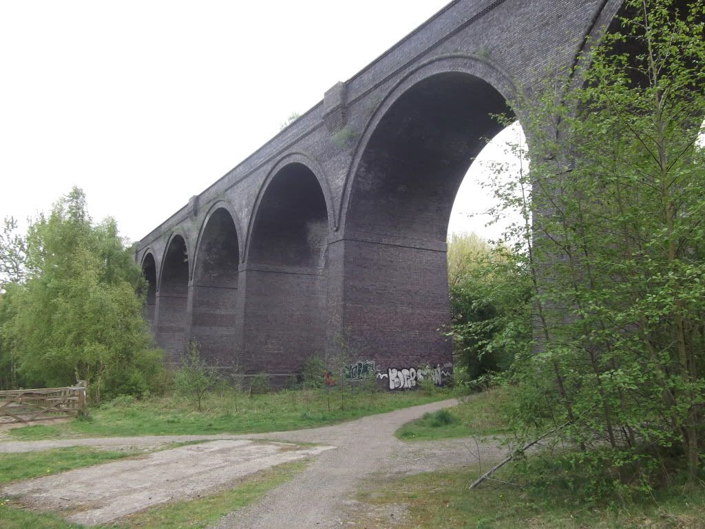
Crigglestone viaduct seen from the way I approached it. Looking at the purple brick I think this may (?) have been built in the 1920s / 30s because the same brick was used on the extension works of the Monk Bretton line which happened then.
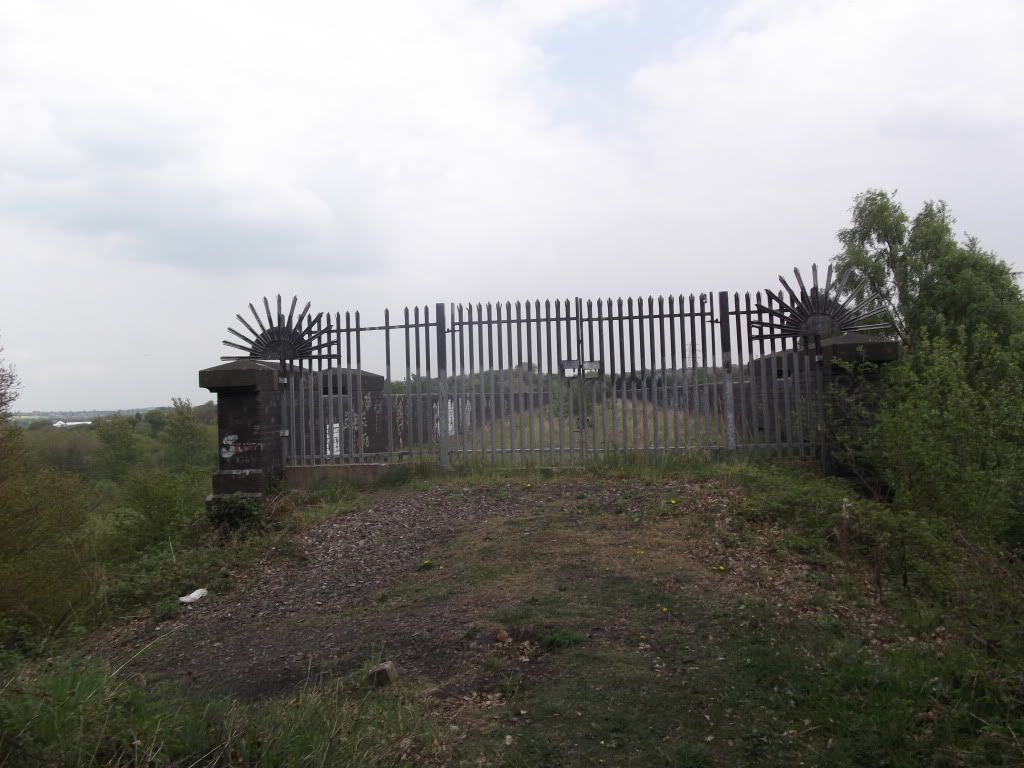
As can be seen from this shot entry would have been difficult had someone not broken two bars of the palisade fencing!
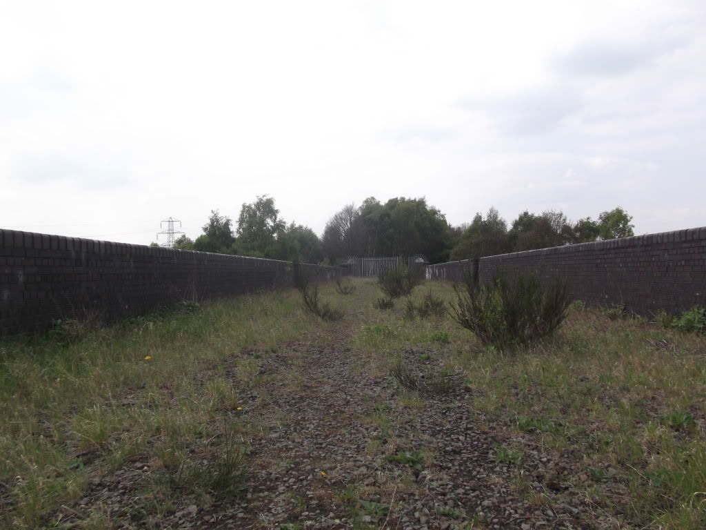
The viaduct is not very overgrown at the start, however it gets worse further down.
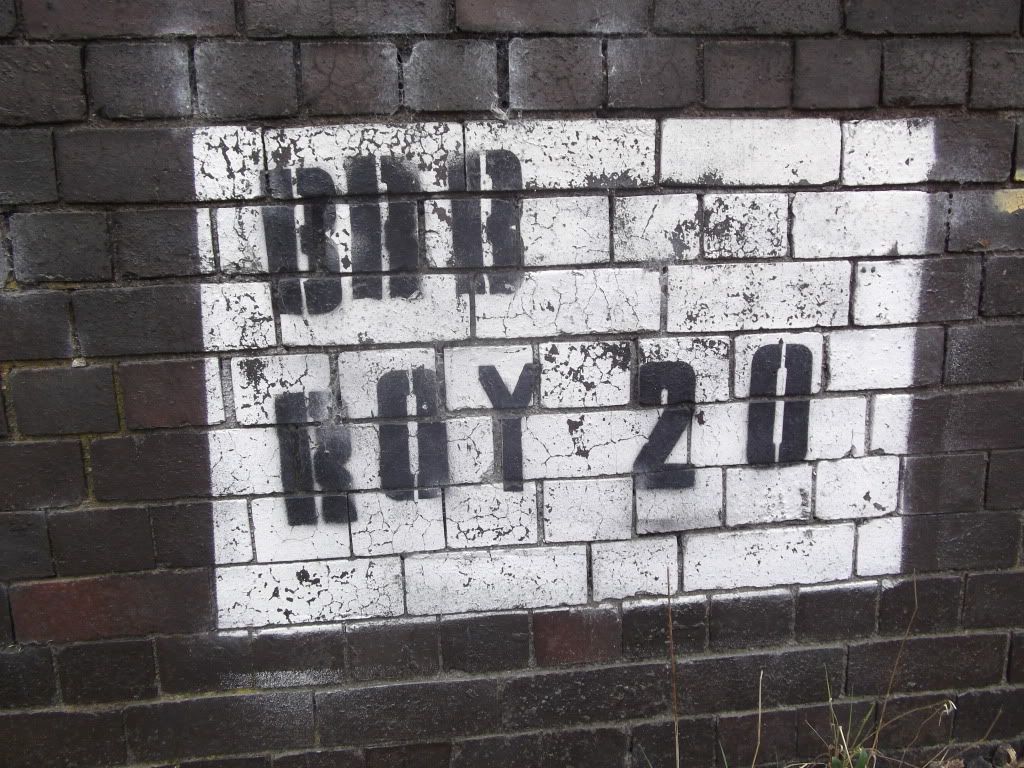
Here is the bridge's number.
This shot was taken at the start next to the BRB number.
Looking back at the gate.
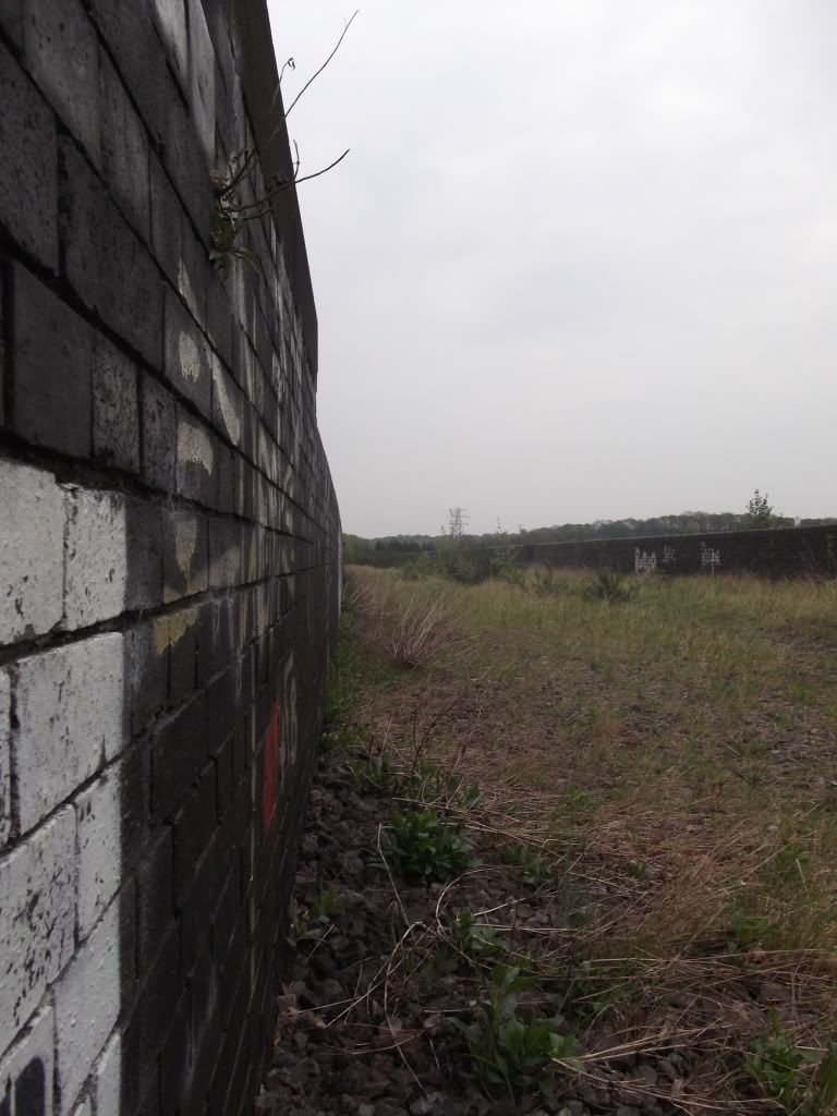
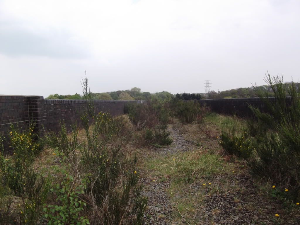
A somewhat more overgrown part of the bridge.
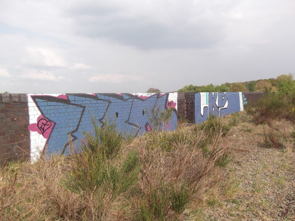
One of only a few grafittied parts of the bridge.
The view of the road from the bridge. About 20 yards to the right is a railway line which I didn't photograph.To the right of this shot is a big metal sheet which blocks off the end of the viaduct but again I didn't take photos.
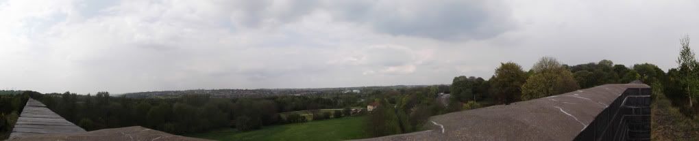
Panorama from near the end of the bridge.
Anyway now onto the other (lower level) line:
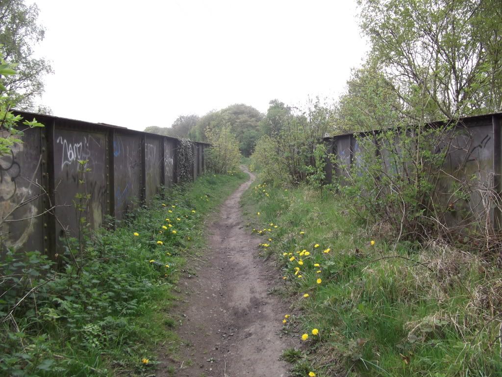
I will not put to many photos on here because I'm sure you will have seen most of it before!
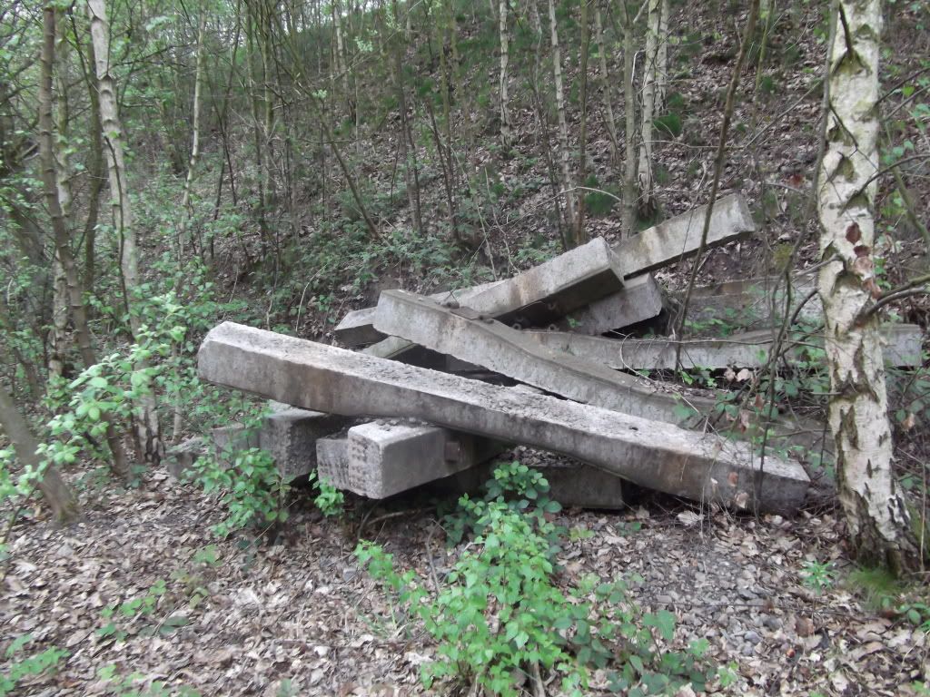
Concrete sleepers dumped at the side of the former track on the lifted section of the line.
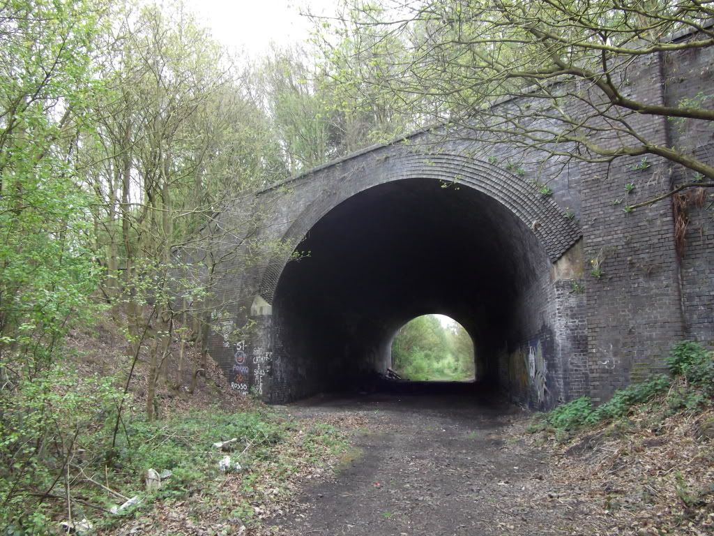
The tunnel, over which the line from Crig viaduct went.
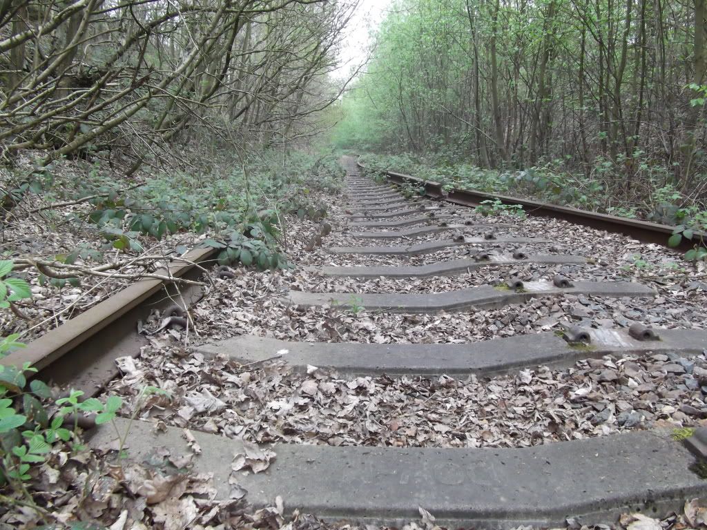
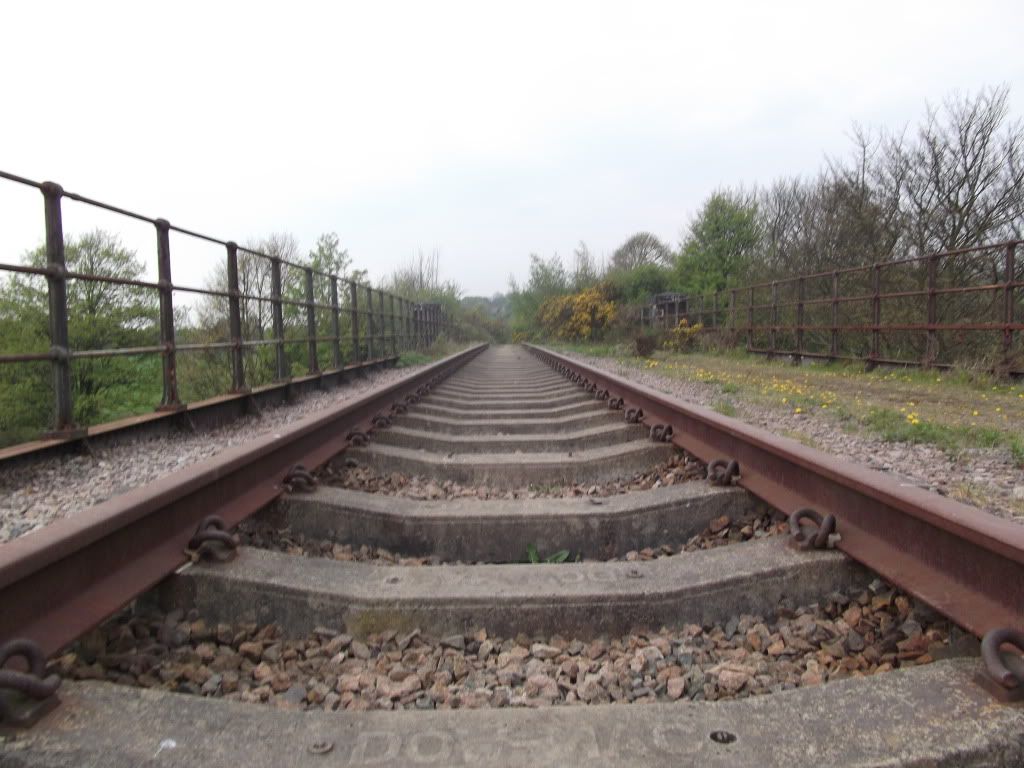
The last of the lifted track. I find it quite eerie that the track is partially lifted.
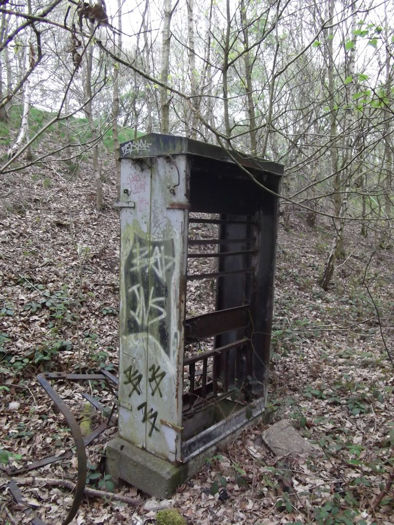
A box for signalling equipment that has been completely gutted.
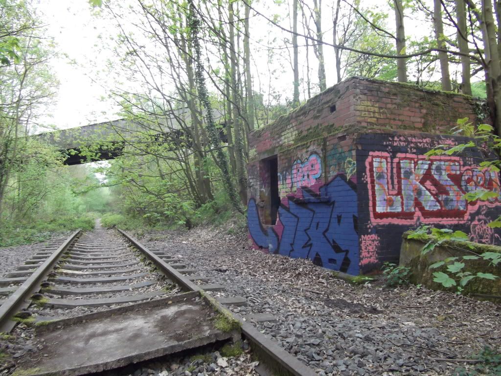
A weird building at the side of the line, does anyone know what this was?
The former railway (?) bridge seen in the background of the previous shot.
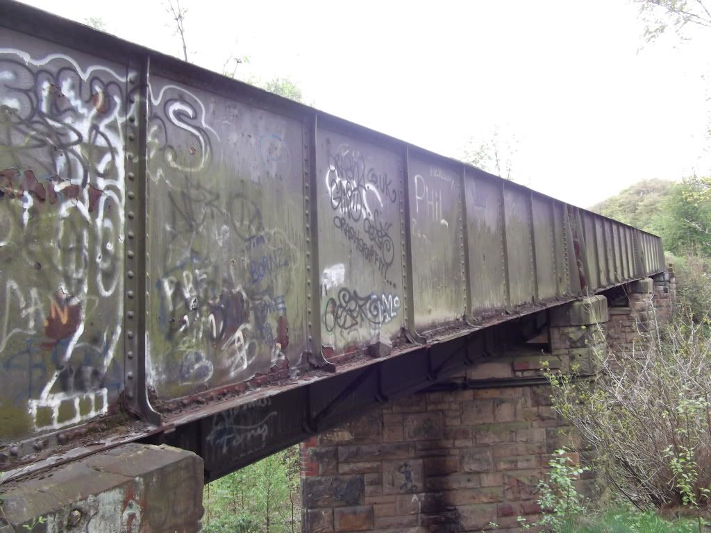
The view down the bridge.
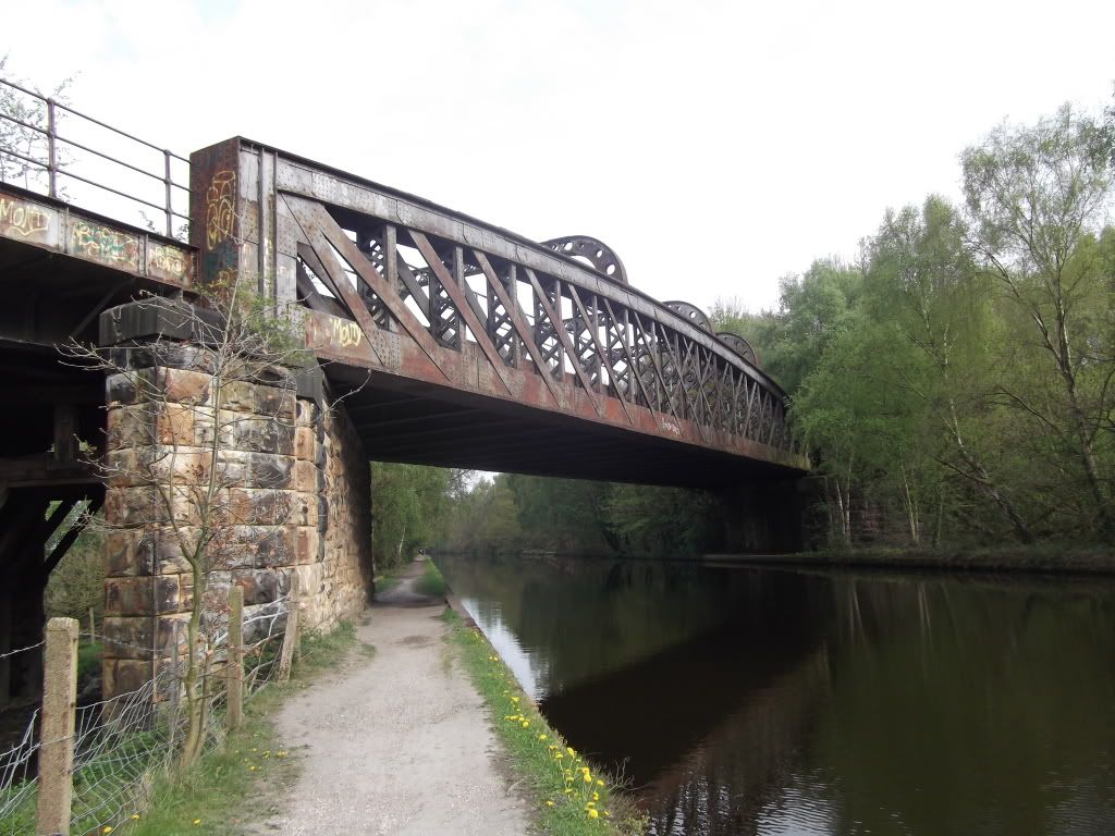
The bridge over the Calder and Hebble canal.
Seen from the canalside.
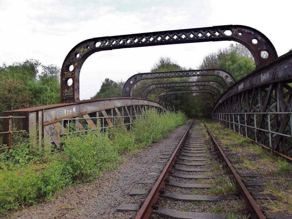
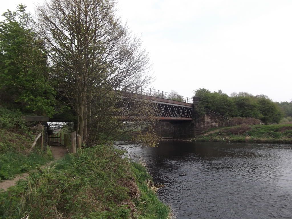
The bridge over the river Calder. After this point the track appears to get very weedy.
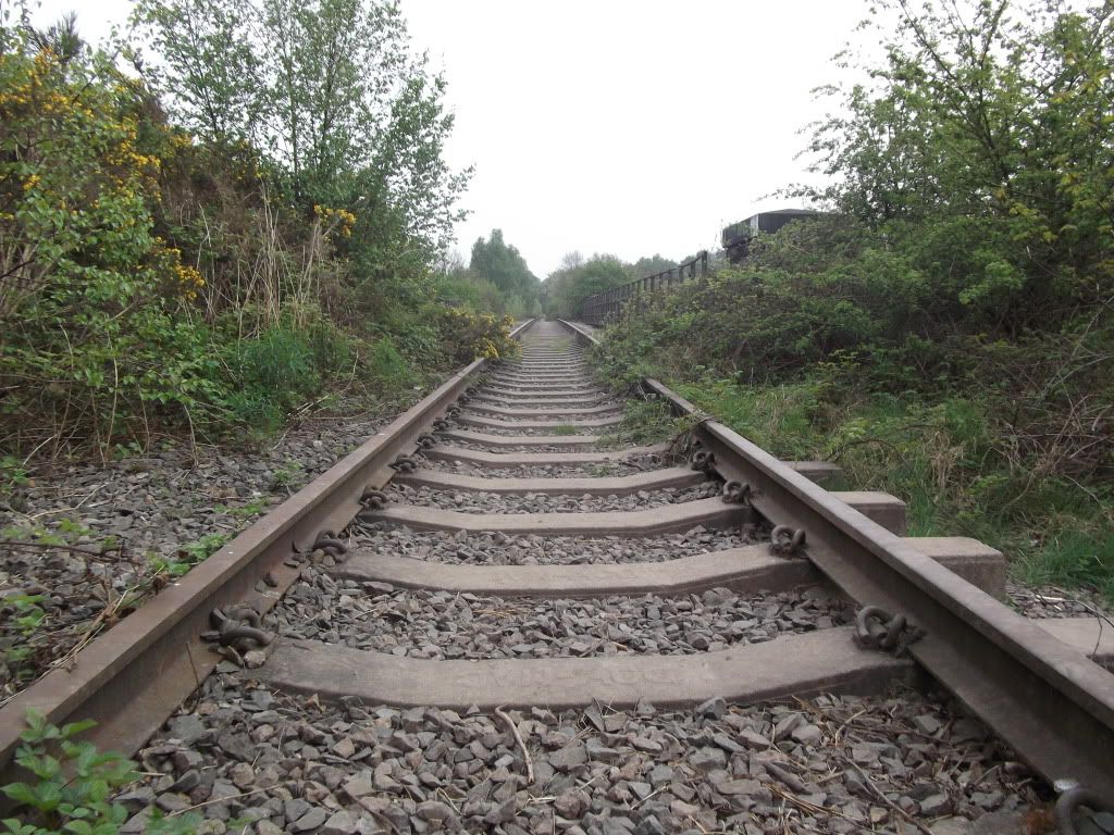
A view of the track from the other side.
And seen from the river.
Results 1 to 1 of 1
-
19-04-2011, 09:37 AM #1
 UF Member
- Join Date
- Apr 2011
- Location
- Somewhere in the depths of Wakefield
- Posts
- 5
- Thanks
- 1
- Thanked 2 Times in 2 Posts
 Crigglestone Viaduct (and other tracks) Explore
Last edited by wakefieldarms; 19-04-2011 at 09:39 AM.


Similar Threads
-
Holborough Tracks - Kent - March 2011
By Motley13 in forum TransportReplies: 7Last Post: 17-03-2011, 07:37 PM -
The Conisbrough Viaduct
By bucolic in forum Heritage and Historical SitesReplies: 7Last Post: 29-11-2009, 11:29 PM
